
FIRST 08 RIDE REPORT...... FINALLY!!!!!
#1
 04-21-2008, 05:57 PM

Join Date: Nov 2005
Location: Washington
Posts: 21,060
Well First off, it was a lazy Sunday afternoon and I thought to myself, self? What are you doing here at home when the weather forecast called for rain starting tomorrow and lasting for at least a week. I have always wanted to find a back way to Ozette Lake. Oh sure you can take the highway over to Clallam Bay and head through Sekiu, and drive like 50 miles from Forks to the lake, but that’s what the tourists do, and I ain’t no tourist. So it was 1:30 and I looked at my wife, and said, “I gotta go, and if I’m not back by dark, don’t freak out.” I said to her “I’m going to go see if I can get lost.”
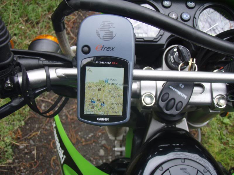
Now before you go on to all the pictures, let me lay down a little background to this ride. There are perhaps 50 different roads once you head off road that a person could take to try and find “the one” that leads to this lake. But I had the GPS, and even though most of the gravel roads were not showing up, I decided to just head toward this lake and see how close I came to it.
It’s also been 20+ years since I was there and again it was taking the long way around. A lot of the roads around here are gated, and some were open some were closed, but I decided that I wasn’t going to go around a locked gate. So I took every road that seemed to head toward the lake, and not only did I not have to back track anywhere, but I actually kept picking the right road. Anyway, to make an already long story even longer, I really wanted to get this mapped out as a possible Dual Sport Ride that I will try and organize this year. This would be one leg.
This is the GPS trail, and while it looks like a simple track, I could have gone a dozen directions.
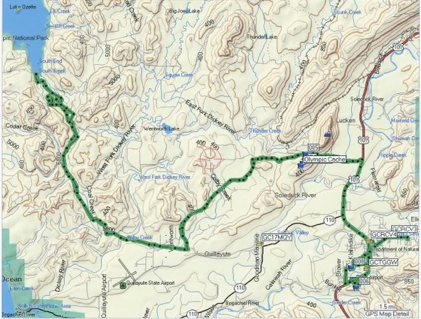
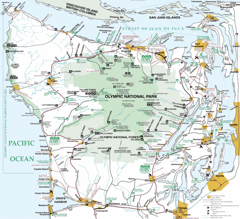
Here is a better picture of theOlympic Peninsula, and as you can see Ozette Lake is huge. You can't miss it ona GPS It's over on the coast in the upper left hand corner in between two Indian Reservations.
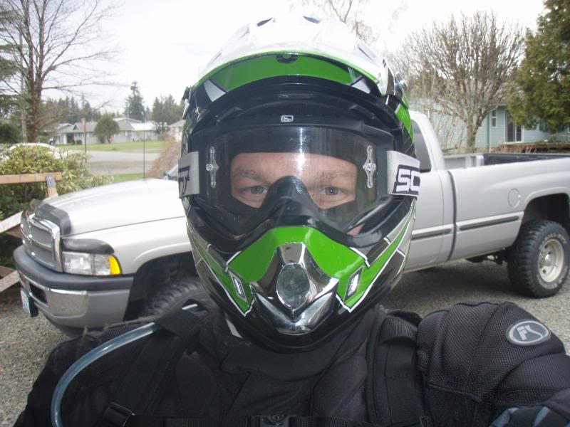
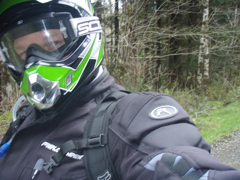
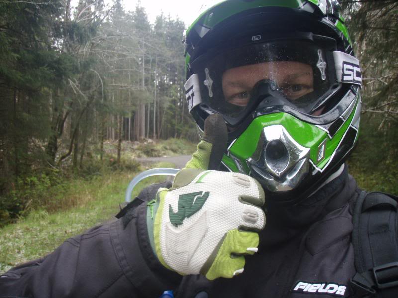
Ok this first shot, is of me leaving the garage. The sky looked dark, and I didn’t care if it rained or hailed, soon it would become apparent that both would happen whether or not I liked it. Don't I look thrilled?

From Highway 101, this is also the same road I have my Geo cache located at.
Another mug shot.....I mean you can't have too many of them right? Don't answer that.
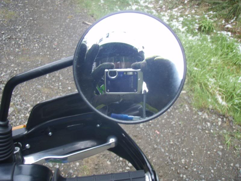
Classic mirror shot.
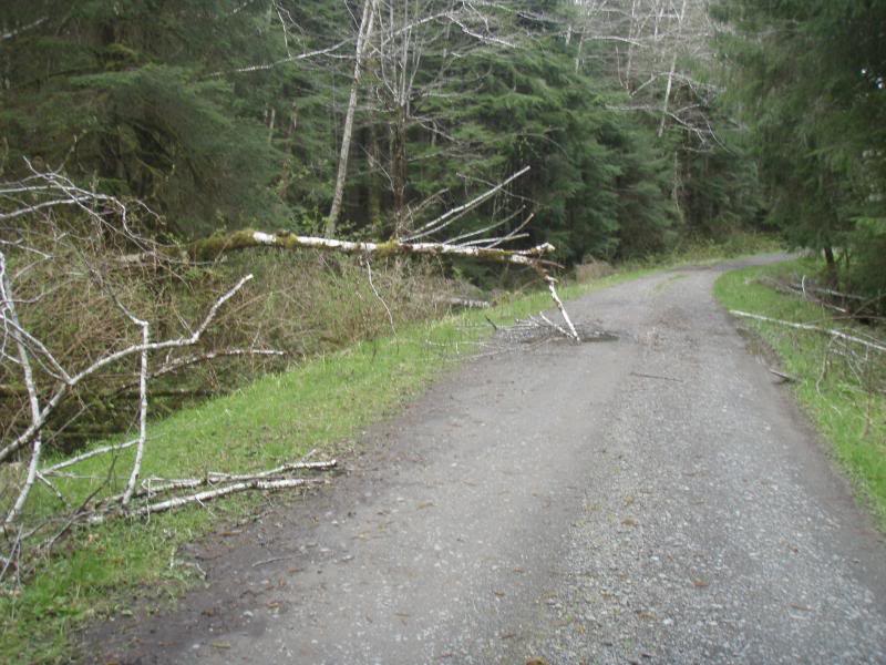
Watch out for those widow makers

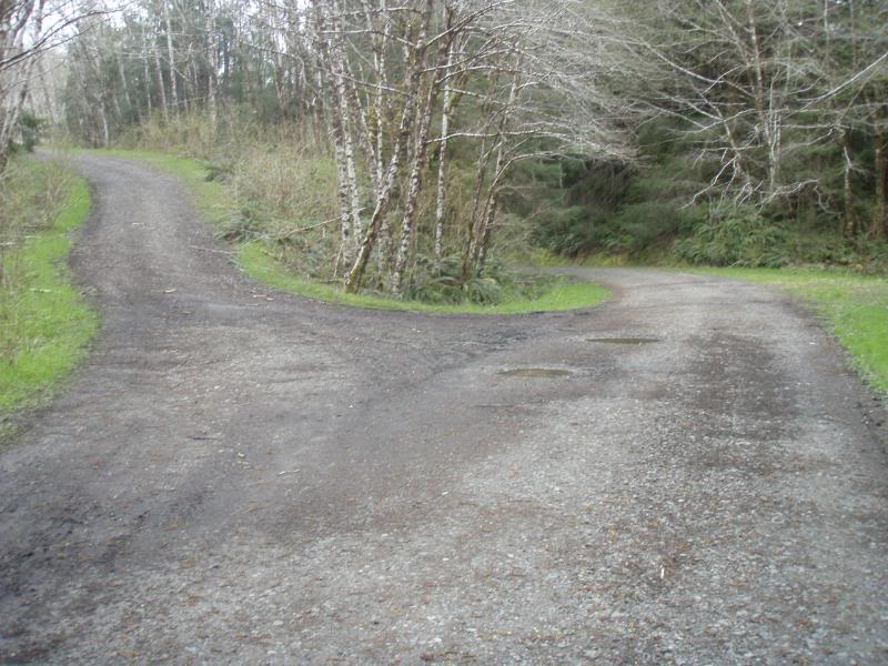
Now I usually always take the high road, literally and metaphorically speaking, but I decided to follow the GPS. Exit stage right.
I think I saw swamp thing, I knew I should have packed the 44 mag.
 [8D]
[8D]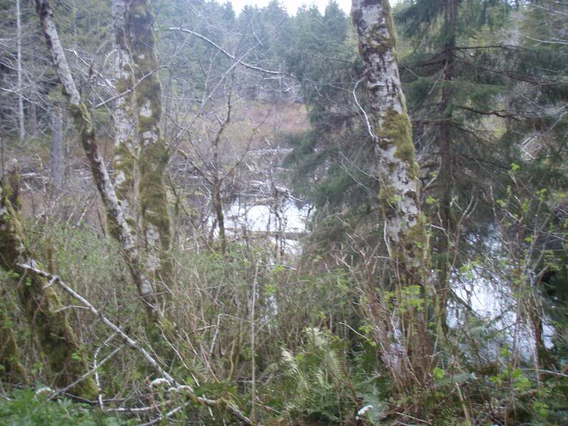
Ok I see the ocean on the GPS, so I know I'm getting close.
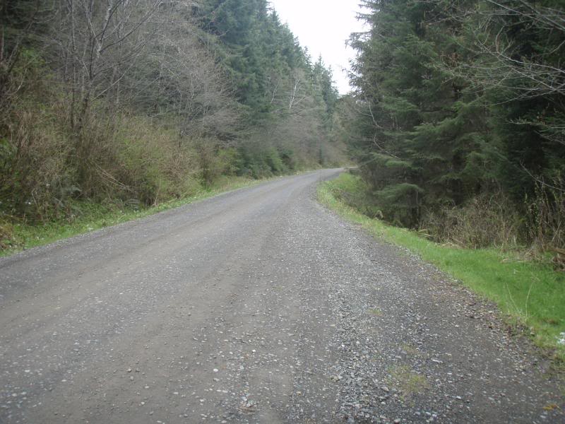
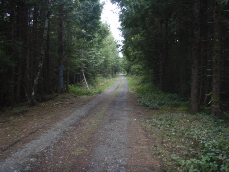
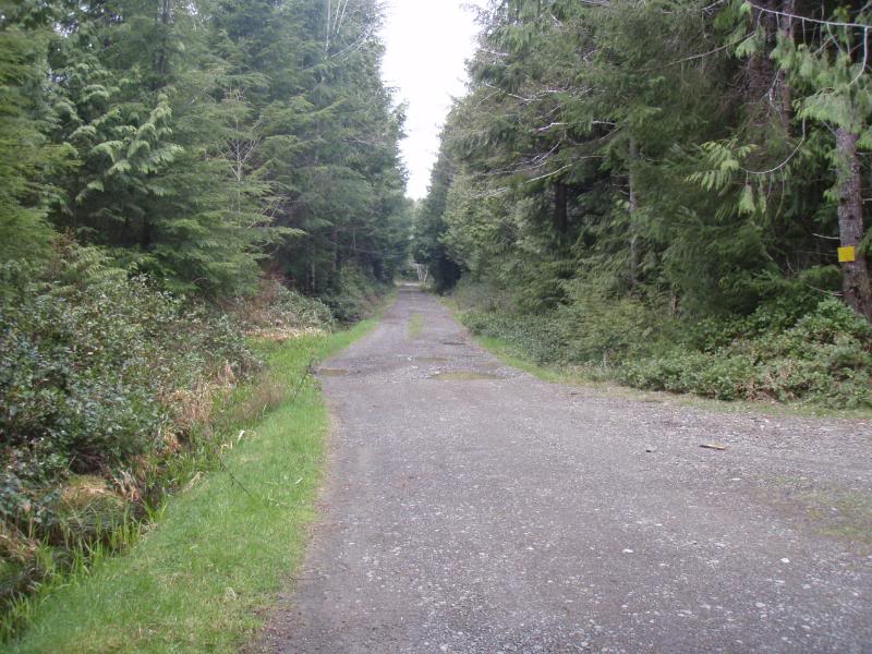
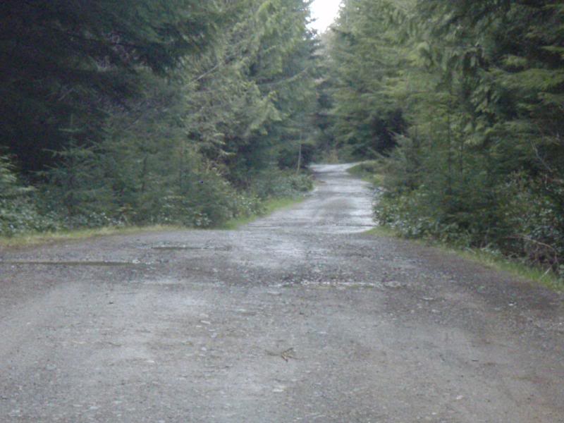
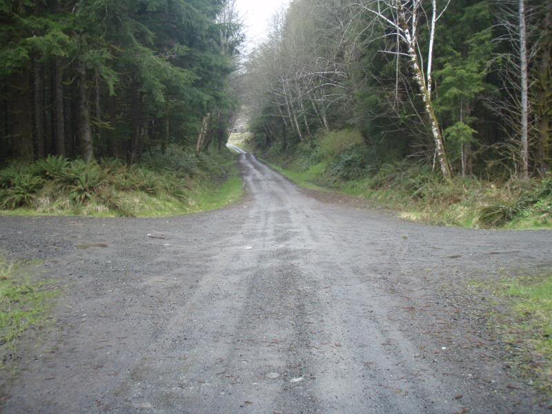
They have been brushing these roads, you gotta love these long straight stretches.
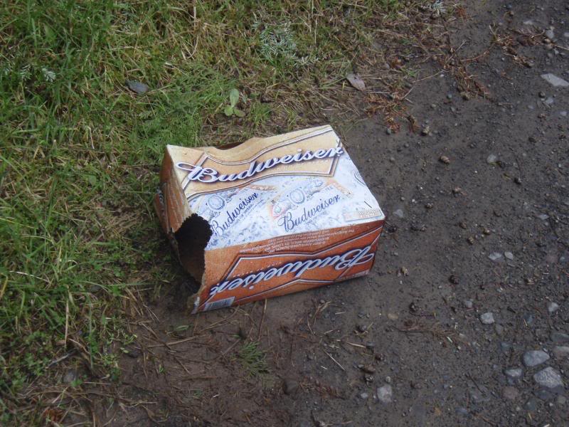
Hmmmmmmm remnants from a party I would guess.
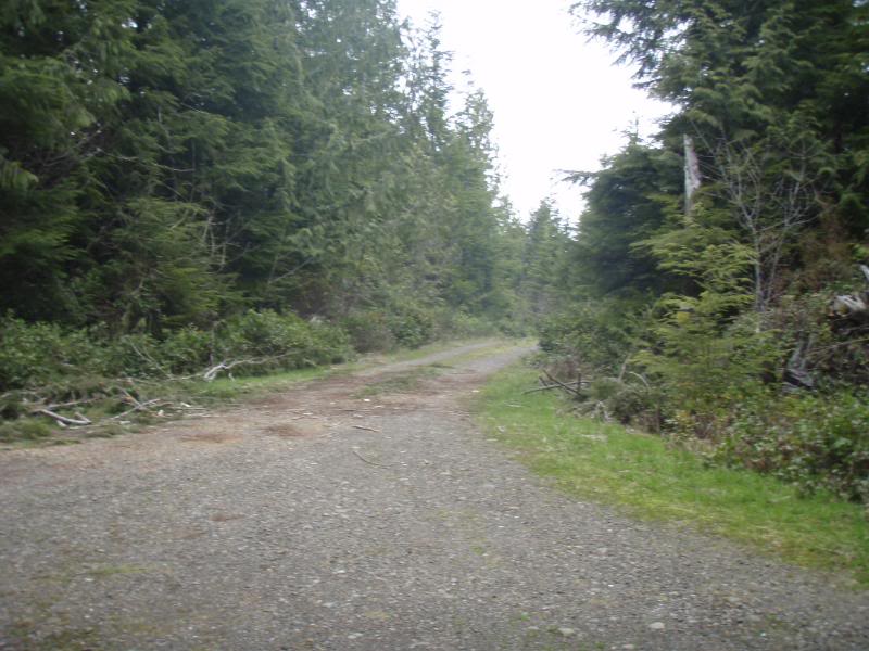
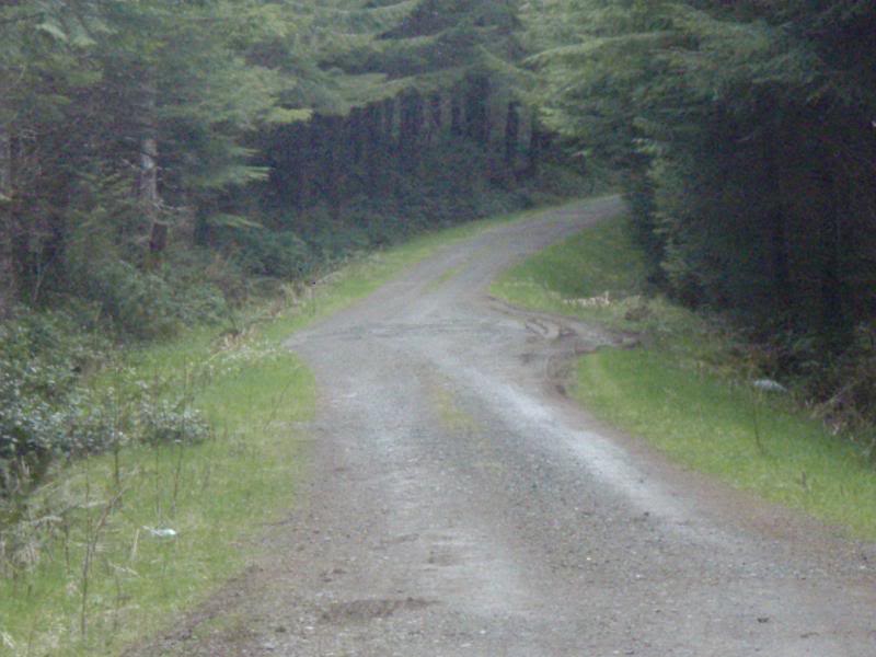
Another good run.
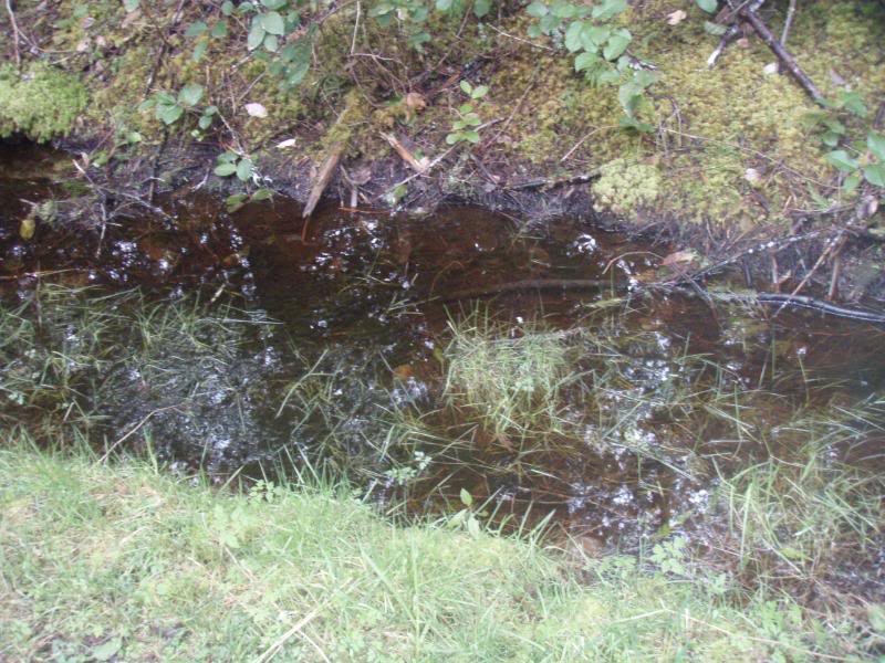
Cedar Swamp water in the ditch. Glad I brought my camelbak.
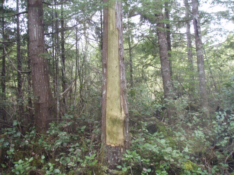
Now this is an interesting picture. And really almost all of these pictures tell a story, but sometimes you need to elaborate. That my friends is a Western Red Cedar tree. The missing bark on that tree was harvested by the local Native Americans to use in different products like baskets, hats and clothing. They sort of have an open permit to get this from the State and Privately owned land. I've seen some of the stuff they make, and it is spectacular to say the least. And as long as they only take a portion from that tree, the tree heals back up and is just fine.
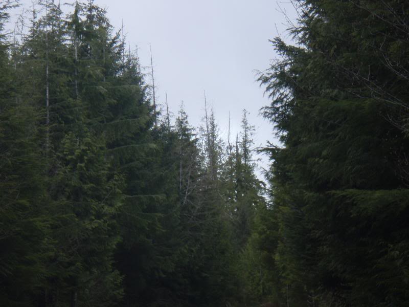
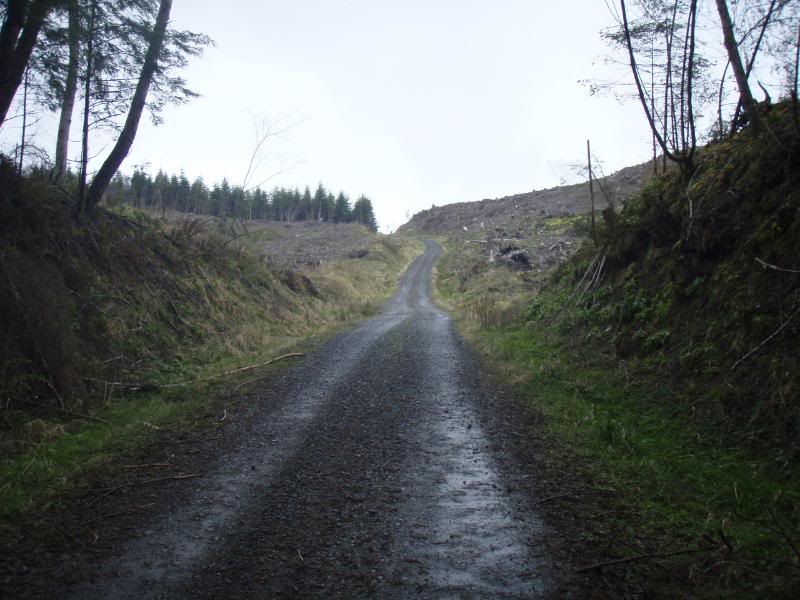
Now up ahead, you can start to make out some of the older Cedar trees that as you get closer to the ocean start to form dead tops and snags.
Closer shot, that told me without even looking at the GPS that the ocean was close, and the lake even closer. In fact, that lake is about 1 mile from the ocean as the crow flys.

Ok back more ride less talk.
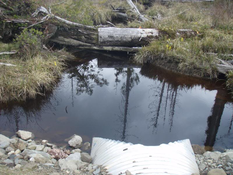
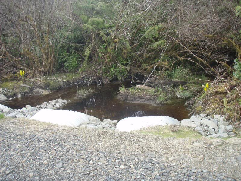
A shot of the 100 year flood culvert project.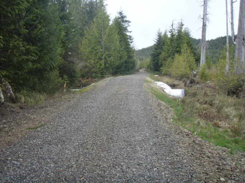
Dug out road.
Getting closer.... Uh oh which way to go?.......Oh that's right I have a GPS
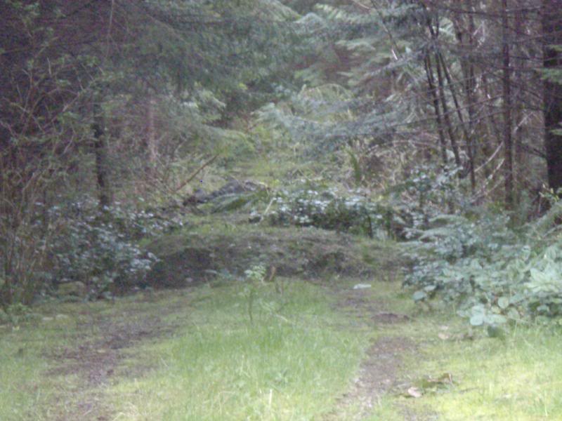
Hmmmmmm more daylight.
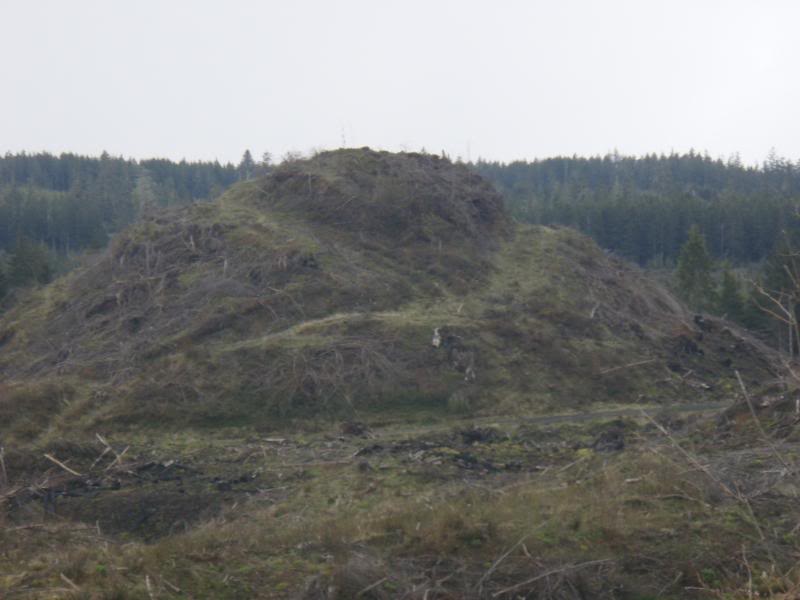
Cool nub, gonna be great deer hunting next year.
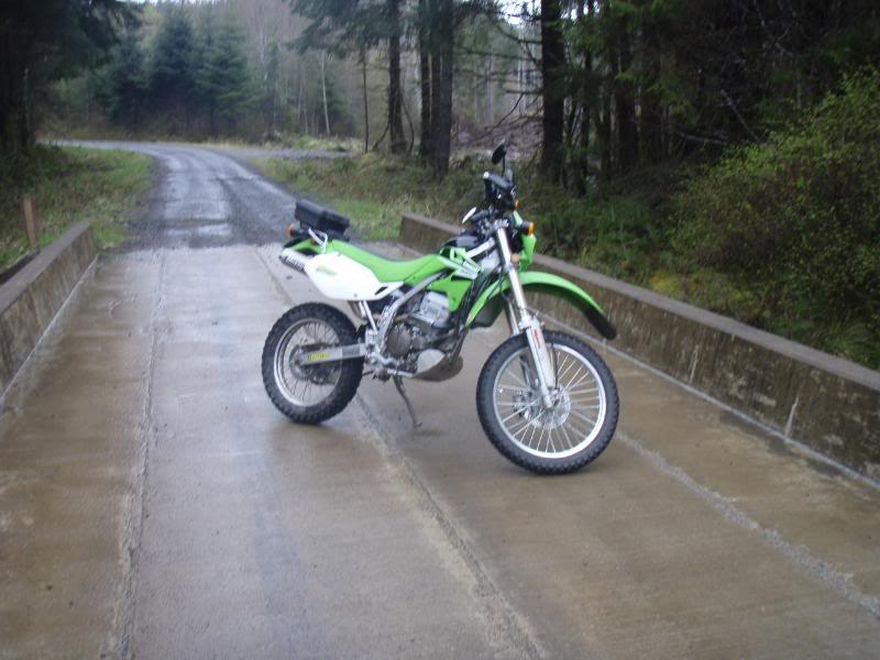
First bridge.
How I feel about the ride so far.
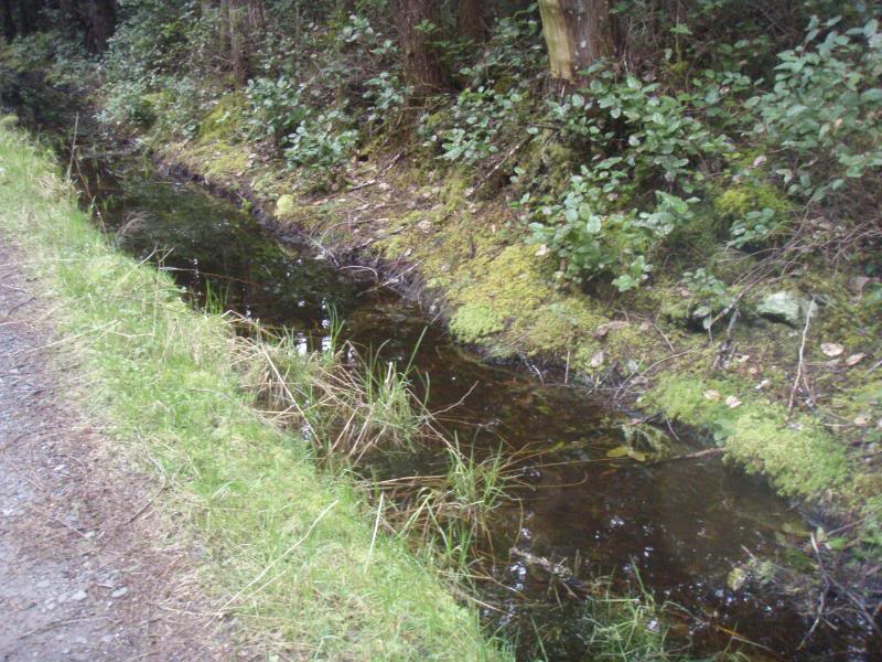
Cedar swamp water creek, believe it or not there are fish that really flourish in these waters. Maybe next time I'll bring my Pocket Fisherman..........if I had one. Remember those things?[8D]
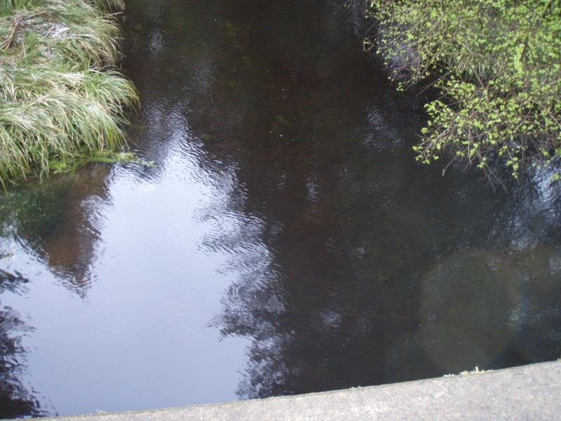
Me looking down, I almost dropped the camera, that would not be good.
[IMG]http://i27.photobucket.com/albums/c195/deej1914/Ozette%20Lake%20
#3
04-21-2008, 09:23 PM
Join Date: Nov 2005
Location: Washington
Posts: 21,060
Wow, I'm tired just reading all of that. I lost count of the pictures, but I hope you all enjoy. When I post a ride report, I don't mess around huh?[8D]

#6
04-21-2008, 10:05 PM
Join Date: Nov 2006
Location: Kennewick Washington, in the washington desert
Posts: 741
Great ride wish I could have been there. The only thing is how did you resist riding down that last bit of trail.
#7
04-21-2008, 10:37 PM
ORIGINAL: ol guy
Great ride wish I could have been there. The only thing is how did you resist riding down that last bit of trail.
Great ride wish I could have been there. The only thing is how did you resist riding down that last bit of trail.
Nice pics, Deej, thanks for sharing!
#8
04-21-2008, 11:05 PM

Join Date: May 2007
Location: New Glasgow, Nova Scotia, Canada
Posts: 878
WOW..great ride report..I wish I lived closer to some of you guys just to get out on a ride just like that to find an old lake that I've never been to or haven't been to in years...or discover a whole new destination. I got a couple of rides in the planning myself this summer and your report just doubled my anticipation...thanks deej

#10
04-21-2008, 11:27 PM

Excellent pics deej
I espescially like the random broken stereo in the tree LOL.....wonder how it got there????
Looks like it was an Awesome ride
I espescially like the random broken stereo in the tree LOL.....wonder how it got there????
Looks like it was an Awesome ride